


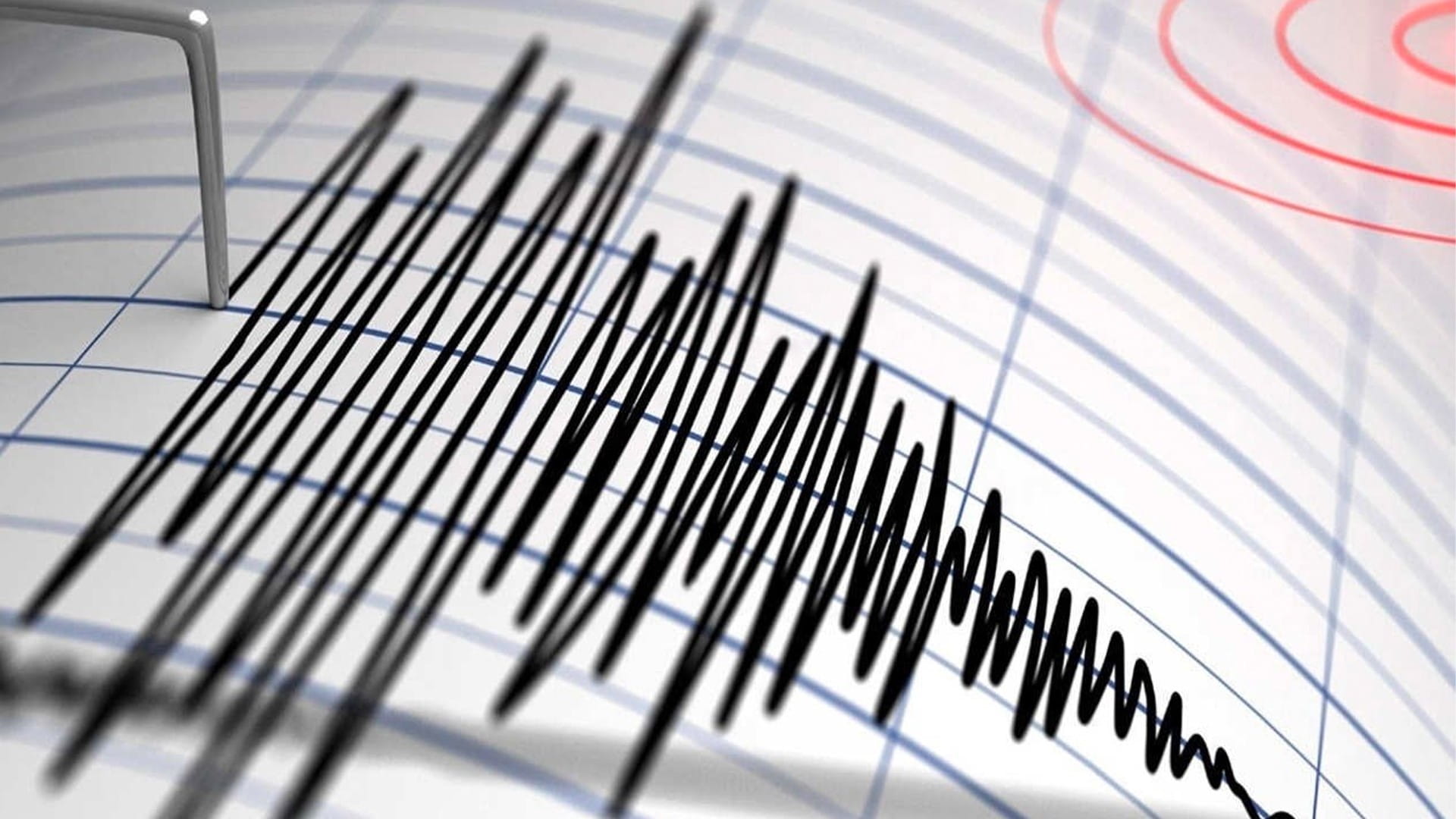
A research team from the United States and Canada has successfully solved a geological puzzle that puzzled scientists for over three decades. The mystery revolves around why a specific type of underwater tectonic fault produces highly regular, predictable earthquakes of almost the exact same magnitude every single time.
What Are Oceanic Transform Faults?
The study, published in the journal Science Alert, demonstrates that these underwater fractures, known as “oceanic transform faults,” are surrounded by barrier zones that act as “natural brakes” to restrain and suppress runaway seismic activity.
This defensive mechanism relies on a dynamic geological process called “dilatancy strengthening.” The process unfolds through the following stages:
Fracturing and Expansion: When initial micro-tremors occur, the porous rock cracks and expands.
Seawater Seepage: This rapid expansion allows surrounding ocean water to seep deep into the newly formed gaps and cavities.
Pressure Changes and Locking: The sudden
influx of water creates severe fluid pressure changes inside the rock. This creates a suction effect that “locks” the fault line, preventing the rocks from sliding freely.
Suppressing the Catastrophe: By arresting the friction mid-slip, the mechanism stops the earthquake from growing larger and prevents it from escalating into a massive, destructive catastrophe.
The “Gofar Fault”: Nature’s Laboratory
To track this phenomenon, researchers analyzed precise data gathered from two distinct segments along the Gofar Fault, a massive submarine trench beneath the Pacific Ocean that marks the tectonic boundary between the Pacific and Nazca plates.
These plates slide past each other at a remarkably fast tectonic speed of 140 millimeters per year. This high-speed friction generates a highly regular Magnitude 6 earthquake roughly every five or six years—a predictable cycle recorded systematically since data collection began in 1995.
Advanced Deep-Sea Monitoring: To track this movement with pinpoint accuracy, scientists deployed highly sensitive Ocean Bottom Seismometers directly onto the seabed during two separate field experiments: the first in 2008, and the second spanning from 2019 to 2022.
The seabed devices captured tens of thousands of micro-foreshocks that precede the main, larger earthquakes. The resulting data proved that these marine barrier zones are not just stagnant geographical features; they are complex, highly dynamic networks of tiny faults that absorb shocks and interact directly with fluid migration.
How This Impacts Forecasting Earthquakes on Land
The research team noted that unlocking the mechanics of these highly predictable deep-sea faults carries immense scientific value.
While the earthquakes along the remote Gofar Fault pose no direct threat to human populations due to their isolated location in the open ocean, understanding them will significantly contribute to:
Updating and refining global digital models used to simulate tectonic plate movements.
Developing advanced forecasting and early-warning systems for much more dangerous, highly destructive fault lines on land (such as the San Andreas Fault).
Understanding the critical role that fluid dynamics play in mitigating natural disasters and managing slow-slip or “silent” earthquakes.


